Explore Maine’s Coast
Maine Coastal Access Guide Offers Hundreds of Places to Visit
By Brittney Nickerson
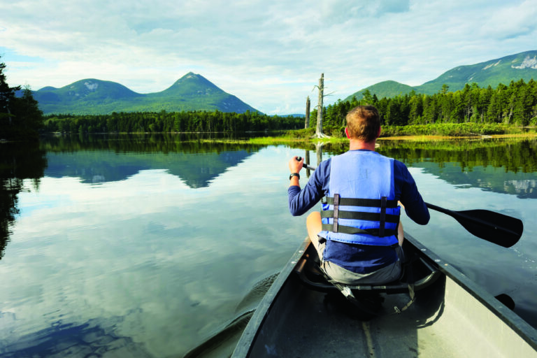
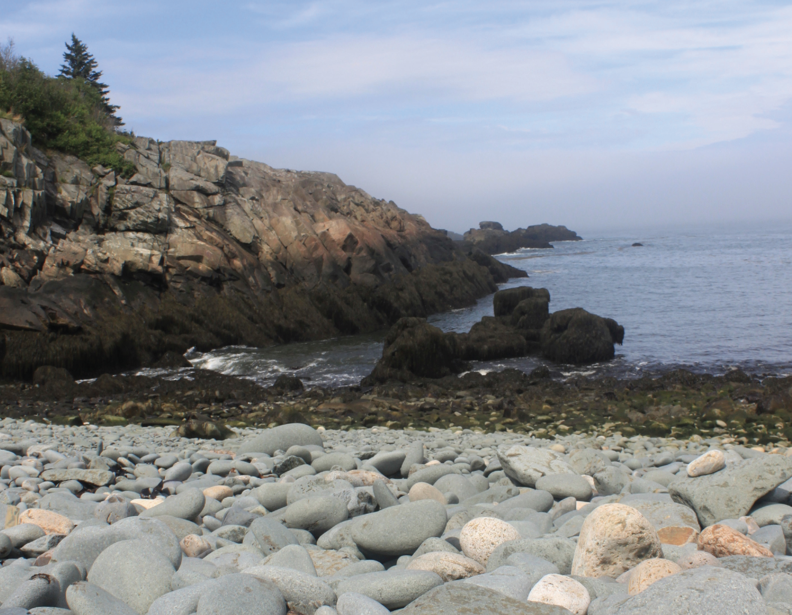
Maine Coastal Program is offering a free, comprehensive guide to the state’s coastal public access areas this summer with the release of a new Coastal Access Guide. From Kittery to Calais, the guide features more than 800 public places along Maine’s tidal waters, supplying residents and visitors with a useful tool to find their next destination for swimming, boating, hiking, and more.
The Coastal Access Guide began as a government initiative to raise awareness about public locations along coastal waters. Maine published its first iteration of the public access guide in a limited-run, paid print book set in 2013. For the updated version, Maine Coastal Program opted for a free, interactive web application, which makes the guide accessible to more people and facilitates quicker updates in the future.
More than 200 organizations, towns, government departments, and land trusts were contacted to contribute to the guide. The statewide effort led to firsthand accounts for many of Maine’s coastal conservation efforts, recreation opportunities, and working waterfronts. While accessing the updated guide, users can customize their experience through an online interactive map or explore printable PDFs available for each site, organized by region.
Melissa Britsch, Maine Coastal Program’s senior planner and head of the Coastal Access Guide project, said the online guide includes built-in filters. “[Users] can search for sites by name or identify places to visit using built-in filter tools for activities (swimming, boating, hiking, etc.), amenities (trailer boat launch, picnic tables, restrooms, etc.), the environmental setting (beach, harbor, mudflat, salt marsh, etc.), and the availability of parking,” Britsch said.
The guide’s filters also help users locate free destinations and those with some level of accessibility. Users are still encouraged to check the PDFs for additional information which may be difficult to capture using only the filter functions, such as historical insights, hiking trail lengths, available electric vehicle charging stations, and the best times for launching a boat.
The guide does not go into detail for public spaces within Acadia National Park. Instead, it provides a direct link to Acadia’s own compendium of sites, which offers similar information as the rest of the locations highlighted in the access guide.
Users may be interested to know that the guide offers updated site information from the 2013 version, as well as many new sites developed or made public since then. One example is Bucksport’s Waterfront Walkway. Having undergone reconstruction, the site now offers accessible walkways with views of Fort Knox and the Penobscot River.
Another new addition to the guide is the Frances Perkins National Monument in Newcastle, which was designated a national monument in December 2024. The site recognizes Frances Perkins, the first woman to serve as a Cabinet secretary, who championed labor rights under President Franklin D. Roosevelt. Her Maine homestead now provides a historic center and a short walk through a field of lupines to the Damariscotta River.
The guide is intended for anyone interested in exploring Maine’s coastal waters.
“No matter who you are and what you love to do, this guide will help you enjoy the beauty of Maine’s coast,” Britsch said.
Jocelyn Runnebaum, Maine Coastal Program’s director, added: “Our coastal lands and waters are a critical part of what makes Maine special, and supporting public access to the coast is one of Maine Coastal Program’s primary goals. We are excited to share the updated guide and hope it can help you appreciate our wonderful coast.”
The complete Maine Coastal Access Guide is anticipated to be released in June 2026 and will be accessible through the Maine Coastal Program section of the Maine Office of Community Affairs website. Visit maine.gov for more information.